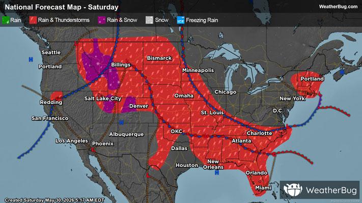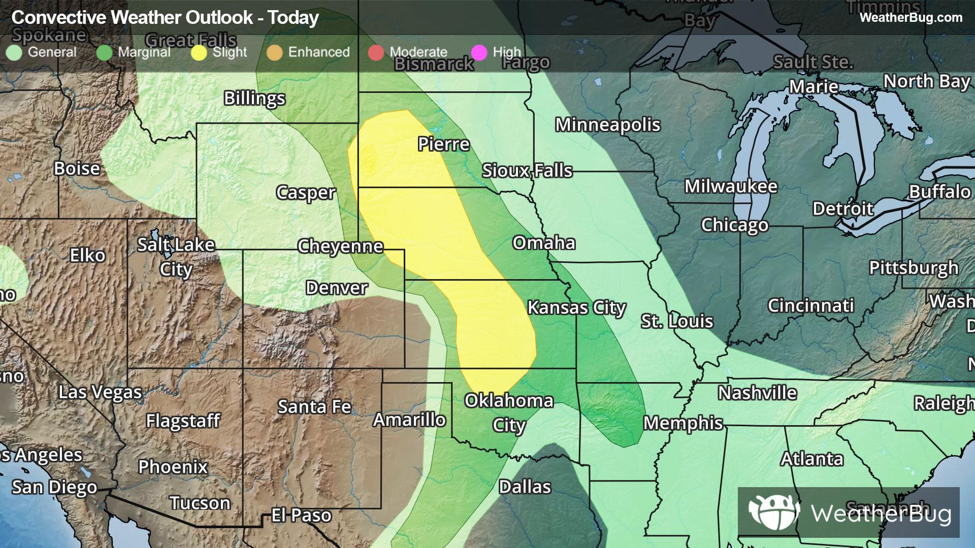
Severe Storms Rumble Across the Plains
Severe thunderstorms are expected to develop across the Plains later this afternoon and evening.
Read More

Feels like:59°
Current Weather Condition70% Chance of Light Rain
Hi

Cooler. Rain showers and slight chance of thunderstorms late in the morning then rain and chance of thunderstorms in the afternoon. Some thunderstorms may produce heavy rainfall early in the afternoon. Some thunderstorms may produce heavy rainfall late in the afternoon. Near steady temperature in the lower 50s. North winds 5 to 15 mph with gusts to around 30 mph. Chance of precipitation near 100 percent.
Lo

Colder. Rain and chance of thunderstorms in the evening then rain after midnight. Some thunderstorms may produce heavy rainfall in the evening. Lows 37 to 43. Northwest winds 10 to 20 mph with gusts to around 50 mph. Chance of precipitation near 100 percent.


Closest strike in the last 30 minutes:68.5 miles
No Lightning Nearby