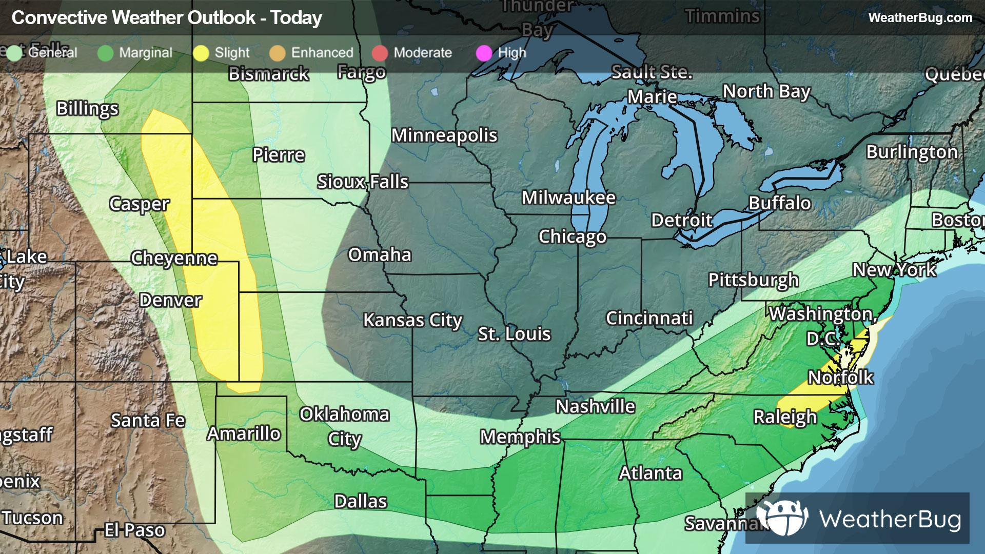
Weather Alerts For Brentwood, CA
Flood Advisory
-Flood Advisory National Weather Service Sacramento CA 659 PM PST Thu Dec 25 2025 Amador CA-Butte CA-Calaveras CA-El Dorado CA-Nevada CA-Placer CA- Sacramento CA-San Joaquin CA-Sierra CA-Solano CA-Stanislaus CA- Sutter CA-Tuolumne CA-Yolo CA-Yuba CA- 659 PM PST Thu Dec 25 2025 ...FLOOD ADVISORY NOW IN EFFECT UNTIL 6 PM PST FRIDAY... * WHAT...Flooding caused by excessive rainfall continues. * WHERE...Portions of central and northern California, including the following counties, in central California, Placer. In northern California, Amador, Butte, Calaveras, El Dorado, Nevada, Sacramento, San Joaquin, Sierra, Solano, Stanislaus, Sutter, Tuolumne, Yolo and Yuba. * WHEN...Until 600 PM PST Friday. * IMPACTS...Minor flooding in low-lying and poor drainage areas. Water over roadways. * ADDITIONAL DETAILS... - At 656 PM PST, Doppler radar indicated moderate to heavy rain. Minor flooding is ongoing or expected to begin shortly in the advisory area. - Periods of moderate to heavy rainfall is forecast to occur in the advisory area into Friday, resulting in flooding. - Some locations that will experience flooding include... Sacramento, Stockton, Modesto, Elk Grove, Roseville, Citrus Heights, Tracy, Folsom, Turlock, Rocklin, Ceres, Galt, Oakdale, Auburn, Grass Valley, Marysville, Placerville, Sonora, Jackson and Paloma. - http://www.weather.gov/safety/flood PRECAUTIONARY/PREPAREDNESS ACTIONS... Turn around, don't drown when encountering flooded roads. Most flood deaths occur in vehicles. Be aware of your surroundings and do not drive on flooded roads. &&
Flood Watch
-Flood Watch National Weather Service San Francisco CA 716 AM PST Thu Dec 25 2025 San Francisco-San Francisco Bay Shoreline-San Francisco Peninsula Coast-East Bay Interior Valleys-Santa Cruz Mountains-Santa Clara Valley Including San Jose-Eastern Santa Clara Hills-East Bay Hills-Southern Salinas Valley/Arroyo Seco and Lake San Antonio- Santa Lucia Mountains and Los Padres National Forest-Mountains of San Benito County And Interior Monterey County including Pinnacles National Park-Northern Salinas Valley/Hollister Valley and Carmel Valley-Northern Monterey Bay-Southern Monterey Bay and Big Sur Coast- Including the cities of Day Valley, Scotts Valley, Seaside, Greenfield, Watsonville, King City, San Jose, Oakland, Concord, Marina, Daly City, Blackhawk, Walnut Creek, Berkeley, Pleasanton, Pacifica, San Ramon, Live Oak, Monterey, Antioch, Fremont, San Francisco, Salinas, Santa Cruz, Boulder Creek, Livermore, Hayward, Cordoza Ridge, and Pittsburg 716 AM PST Thu Dec 25 2025 ...FLOOD WATCH REMAINS IN EFFECT THROUGH FRIDAY EVENING... * WHAT...Flooding caused by excessive rainfall continues to be possible from multiple lines of showers and thunderstorms, strong at times, moving across the area. * WHERE...San Francisco County, San Mateo Peninsula, East Bay, South Bay, and Central Coast * WHEN...Through Friday evening. * IMPACTS...Excessive runoff may result in flooding of rivers, creeks, streams, and other low-lying and flood-prone locations. Creeks and streams may rise out of their banks. Low water crossings may become flooded. Flooding may occur in poor drainage and urban areas. * ADDITIONAL DETAILS... - Numerous lines of showers and thunderstorms will move across the Bay Area and Central Coast through Friday evening. An additional 1-2" of rain is expected across the interior with locally higher totals between 2-3" across the Santa Cruz Mountains and up to 3" across the Santa Lucia Range. Flooding potential will increase with each successive round of rain. Sharp rises in smaller creeks and streams are expected with at least some potential for minor flooding in mainstream rivers. - http://www.weather.gov/safety/flood PRECAUTIONARY/PREPAREDNESS ACTIONS... You should monitor later forecasts and be alert for possible Flood Warnings. Those living in areas prone to flooding should be prepared to take action should flooding develop. &&
Severe Storm Risk
-There is a Marginal Severe Storm Risk for your location. Continue reading for today's outlook from the National Weather Service's Storm Prediction Center. -------------------- National Severe Storm Outlook THERE IS A MARGINAL RISK OF SEVERE THUNDERSTORMS ALONG MUCH OF THE CALIFORNIA COAST AND INTO THE CENTRAL AND NORTHERN VALLEYS SUMMARY The risk for isolated severe thunderstorms will persist this evening and into tonight across much of the California Coast and portions of the Central and Northern Valleys. Coastal CA into the Central and Northern Valleys Scattered showers and thunderstorms persist this evening from the Sacramento Valley toward the central coastline, with another area over southern CA. Areas of heating have led to a few stronger cells around the Sacramento area, with indications of marginal hail. To the west, another frontal band of convection will continue to approach much of the central coastal counties. The 00Z OAK sounding shows steep lapse rates and strong shear profiles, which may favor both damaging gusts or embedded areas of rotation as leading cells and/or the frontal band approach later this evening. As such, will maintain the Marginal Risk. For more information, see mesoscale discussion 2272.