# HEADLINE
--------------------
EXTREME HEAT WARNING REMAINS IN EFFECT FROM 11 AM SUNDAY TO 8 PM CDT TUESDAY
# DETAILS
--------------------
WHAT
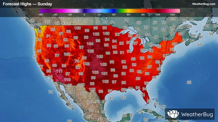
Dangerously hot conditions with heat index values up to 114 expected.
WHERE
Portions of central, eastern, north central, and southeast Arkansas.
WHEN
From 11 AM Sunday to 8 PM CDT Tuesday.
IMPACTS
Heat related illnesses increase significantly during extreme heat and high humidity events.
ISSUED AT
Saturday, July 25, 2026 at 10:54 PM CDT
ISSUED BY
National Weather Service Little Rock AR
HEADER
URGENT - WEATHER MESSAGE
# PRECAUTIONARY/PREPAREDNESS ACTIONS
--------------------
Drink plenty of fluids, stay in an air-conditioned room, stay out of the sun, and check up on relatives and neighbors.
Take extra precautions when outside. Wear lightweight and loose fitting clothing. Try to limit strenuous activities to early morning or evening. Take action when you see symptoms of heat exhaustion and heat stroke.
To reduce risk during outdoor work, the Occupational Safety and Health Administration recommends scheduling frequent rest breaks in shaded or air conditioned environments. Anyone overcome by heat should be moved to a cool and shaded location. Heat stroke is an emergency! Call 9 1 1.
# AREAS AFFECTED
--------------------
Arkansas, Faulkner, Northwest Yell County, Cleburne, Conway, Desha, Independence, Jackson, Lawrence, Lonoke, Monroe, Perry, Prairie, Pulaski, Randolph, Sharp, Southeast Van Buren County, Southern Pope County, White, Woodruff, Yell Excluding Northwest
Including the cities of Ola, De Witt, Hoxie, Danville, Augusta, Dumas, Little Rock, Attica, Atkins, Batesville, Scotland, Fairfield Bay, Cave City, Walnut Ridge, London, Cotton Plant, Heber Springs, Brinkley, Damascus, Hardy, Stuttgart, Waveland, Morrilton, Beebe, Searcy, McCrory, Perryville, De Valls Bluff, McGehee, Pocahontas, Cabot, Havana, Des Arc, Ash Flat, Conway, Newport, Russellville, North Little Rock, Hazen, Clinton, Lonoke, Dardanelle, Shirley, Plainview, Clarendon, and Hector